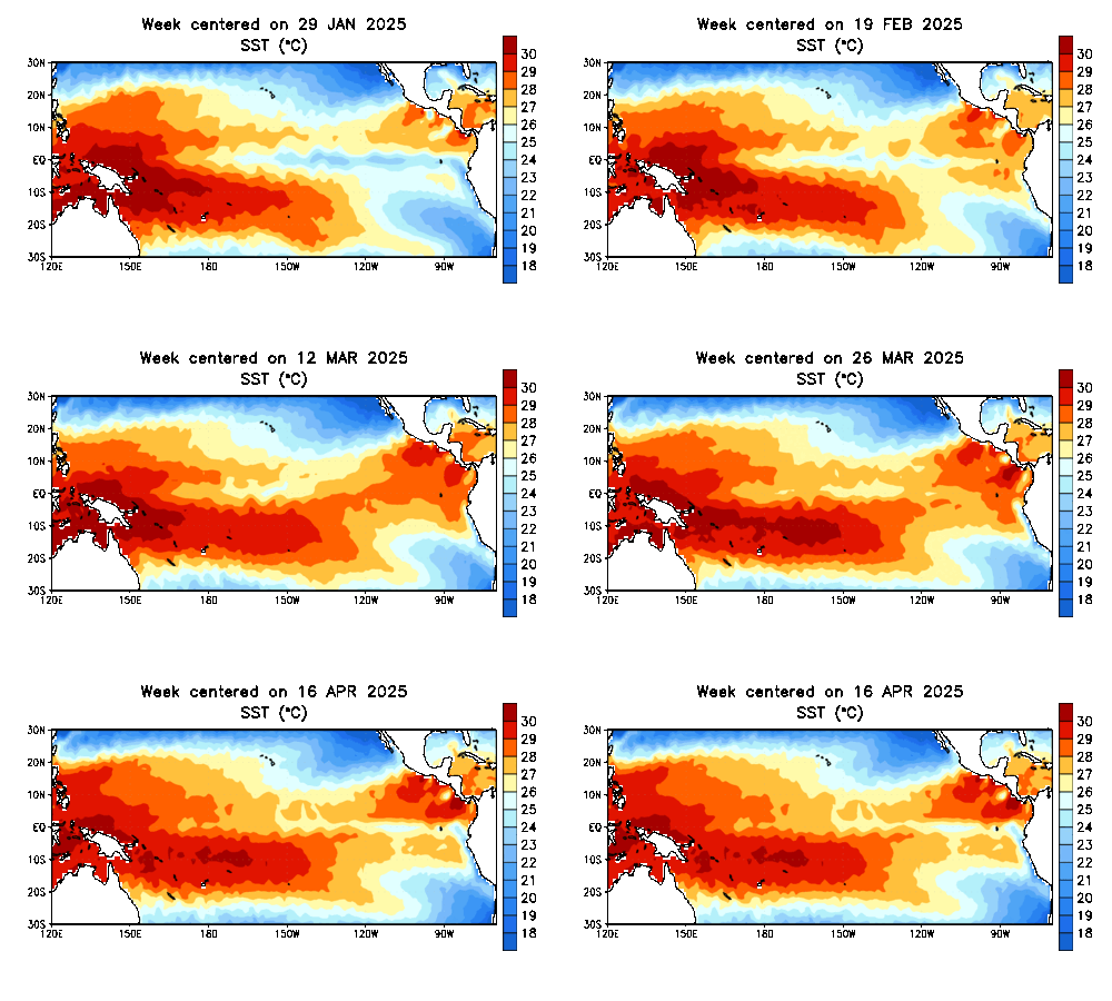
I am going to keep this short and sweet by giving a quick update on the status of the ENSO. Currently, we are still experiencing ENSO-neutral conditions with the latest ONI value in Nino-region 3.4 registering in at +0.3. Remember, we have to reach an ONI of +0.5 or higher to classify El Nino conditions. If the +0.5 (at least) ONI is maintained for 5 or more consecutive periods (as is usually the case), we can call it an El Nino episode.
My current thinking is the ONI for ASO (August-September-October) will reach the +0.5 threshold. There is still a chance it occurs in the JAS (July-August-September) period, but with the recent development of the current El Nino actually weakening, that may be too far-fetched to say. Additionally, the IRI plumes are only slightly above 50% chance of El Nino for the JAS period, but shoot up to 60% chance for the ASO.
Here is a look at the dynamical / statistical models. You can see why the probability graph favors ASO over JAS by examining these models and when they reach the +0.5 threshold. Focus your attention on the solid black line.
There are 3 things we would like to see progress over the course of the next 3-4 months to see the El Nino come to fruition by mid-Fall:
1. Trade winds weaken and track east
2. Air pressure fall in the central and eastern Pacific
3. Rise in surface pressure over the Indian Ocean and Australia
Once those things begin taking place, we should steadily see El Nino intensify.
Sea surface temps are increasing in Nino region 1+2, but we need to see them increase over 3.4 much more. As long as the 3 factors I mentioned take place, we should begin to see this happening.
Enjoy your summer!
-Francesco Paparatto


